November 11, 2026
The role of civil engineer surveyors is crucial in the construction and infrastructure industries. This article will explore the fundamentals, responsibilities, tools, challenges, educational pathways, and future trends concerning civil engineer surveyors.
Understanding the Role of Civil Engineer Surveyors
Definition and Scope
Civil engineer surveyors are professionals who play a vital role in interpreting and implementing designs for construction projects. Their work ensures that engineering projects meet legal and regulatory compliance. They combine technical prowess with practical construction knowledge, enabling them to precisely measure plots of land, analyze geographical data, and deploy the data to facilitate project planning. Essentially, their scope extends beyond laying out groundwork; they are integral to the very foundation of any civil engineering venture. The success of infrastructural projects heavily relies on their input to prevent possible construction errors.
Key Responsibilities
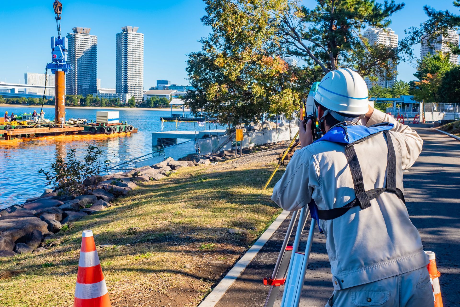
Key responsibilities of civil engineer surveyors include conducting surveys to establish legal boundaries and gather data necessary for construction. They prepare reports on surveys conducted, offering insights into the terrain and supplying critical data on topography. Additionally, they review construction plans and ensure compliance with zoning and permitting laws. By lending expertise to various projects—from highways to residential complexes—they ensure infrastructure is safely constructed while minimizing risks. They also frequently collaborate with architects, engineers, and construction teams to translate designs into practical projects.
Types of Surveying Specializations
Within surveying, there exist several specializations, each addressing specific project needs. According to Rocket Mortgage, there are seven different types of land surveys, including boundary surveys, ALTA surveys, topographic surveys, as-built surveys, mortgage surveys, subdivision surveys, and new construction surveys. These specializations ensure that the vast array of construction and infrastructural requirements are met comprehensively and accurately. These specific surveying types cater to unique aspects of construction projects, from determining land ownership to providing detailed maps of terrain and infrastructure. This wide scope allows civil engineer surveyors to apply diverse skills in a range of projects.
Importance in Construction and Infrastructure
The role of civil engineer surveyors is critical in ensuring that construction projects commence on the right footing. They guide project feasibility by supplying accurate land data, minimizing costly construction errors. The data they collect assists in creating precise blueprints and helps tackle any challenges that may arise during construction. Moreover, civil engineer surveyors liaise with authorities, ensuring all constructions adhere to local zoning laws and are in line with community planning policies. Their expert oversight ensures durable and lifelong infrastructure that supports community growth.
Distinctions from Other Engineering Roles
While civil engineer surveyors share similarities with other engineering roles, they are primarily distinct in their function of land measurement and legal boundaries. Unlike structural engineers, whose focus is on ensuring the safety and integrity of building infrastructures, surveyors concentrate on land data accuracy. Another distinction is their scope of work—from initial project development phases to offering insights on land reclamation. Their role is not typically project-specific, as they often work across multiple simultaneous projects, contrasted with other engineers who may focus singularly on one project. Thus, their expertise in surveying processes bridges gaps between conceptual design and physical construction.
Essential Skills for Civil Engineer Surveyors
Technical Skills and Competencies
Civil engineer surveyors must have a robust technical skill set to meet the demands of their job. They must understand surveying concepts, mathematics, and geology to ensure a precise capture of land data. Competency in using various surveying tools and technologies is crucial. Moreover, their role entails the monitoring and oversight of construction processes, requiring precision in measurements. Being technically proficient also enables them to adopt new surveying technologies rapidly, evolving their practice to meet the modern demands of construction and infrastructure.
Geographical Information Systems (GIS) Proficiency
Proficiency in Geographical Information Systems (GIS) is essential for civil engineer surveyors. GIS enables surveyors to capture, store, and analyze spatial data crucial for planning and development projects. These systems enhance their ability to assess land features, plan urban developments, and generate accurate maps. For surveyors, GIS proficiency represents an intersection of traditional surveying skills with modern technological applications. This expertise allows them to support sustainable development while ensuring the accuracy and quality of their survey data.
Communication and Interpersonal Skills
Success as a civil engineer surveyor is not just about technical competence, but also about effective communication. Surveyors must coordinate among multiple stakeholders such as architects, engineers, contractors, and regulatory bodies. Interpersonal skills help in negotiating solutions to on-site issues, fostering collaborative project environments. Displaying clarity in their findings and ensuring that stakeholders understand technical data is equally vital. Moreover, being able to relay findings to various audiences in a comprehensible manner strengthens trust and assures project alignment.
Problem Solving and Analytical Skills
Problem-solving and analytical capabilities are indispensable to the role of a civil engineer surveyor. They frequently encounter unexpected challenges in projects that demand quick and effective solutions. Analytical skills enable them to interpret data accurately and suggest viable project modifications as necessary. Moreover, their ability to foresee potential pitfalls allows them to devise preemptive solutions. This adaptability ensures that projects remain on schedule and within budget constraints, despite unforeseen setbacks.
Adapting to Technological Advancements
The field of surveying is continuously evolving, making it imperative for surveyors to adapt to technological advancements. Technologies such as laser scanners and unmanned aerial vehicles (UAVs) are revolutionizing how surveys are conducted. Surveyors must not only operate these new tools but also interpret and apply the data they produce within project contexts. Their adaptability also involves upgrading their existing skills to integrate new technologies, thus maintaining high standards of precision and efficiency. This adaptability while harnessing the latest innovations ensures that the role of surveyors remains relevant and impactful.
Tools and Technologies Used by Civil Engineer Surveyors
Surveying Equipment
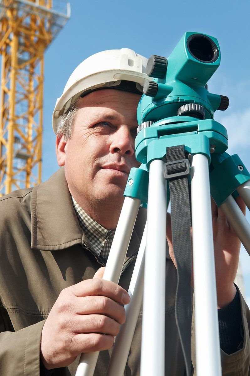
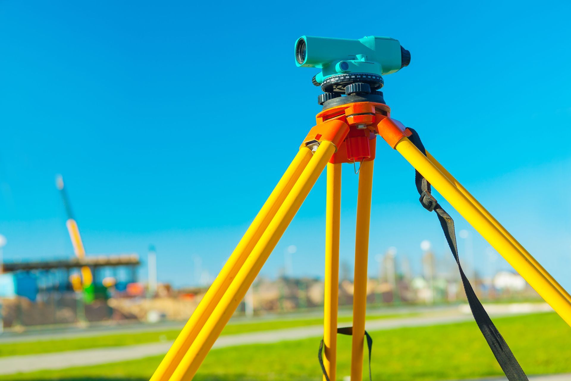
Surveying equipment remains a cornerstone of the civil engineer surveyor’s tool kit. Traditional equipment such as theodolites and total stations are still prevalent. These instruments are crucial in measuring angles and distances with high precision. Additionally, the evolution of equipment now sees advanced versions like robotic total stations enhancing productivity. Such survey equipment, combining precision engineering and technology, adds a critical layer of accuracy that supports robust construction processes.
Software Applications
Software applications are integral tools that civil engineer surveyors use to boost efficiency and accuracy. Programs enable them to create detailed maps and three-dimensional models. These tools allow surveyors to simulate project scenarios and visualize potential challenges before proceeding to the construction phase. Software applications facilitate data management and manipulation, ensuring that surveying data is synthesized into usable formats. Through these digital tools, surveyors can enhance their productivity by integrating complex data into coherent project plans.
GPS and Drones in Surveying
The role of GPS and drones in surveying is increasingly transformative. GPS enables surveyors to pinpoint precise locations with reduced likelihood of human error. Drones, on the other hand, facilitate aerial surveys by capturing extensive data over large areas swiftly and accurately. These technologies expand the reach of surveyors, allowing them to conduct surveys in otherwise inaccessible terrains. Furthermore, using drones and GPS enhances safety by minimizing the need for surveyors to traverse dangerous or unstable land areas. This fusion of technologies represents a significant leap in surveying capabilities.
Civil engineer surveyors play an indispensable role in shaping our built environment. By understanding their responsibilities, acquiring essential skills, adapting to technological advancements, and anticipating future trends, professionals in this field can significantly contribute to sustainable and innovative development. Be sure to reach out to Regester Associates, Inc today to learn more about our professional civil engineer surveyors!