December 9, 2025
Survey engineering is a specialized field that plays a pivotal role in the planning, execution, and management of construction and development projects. Engineers are the backbone of infrastructure projects, ensuring that every structure is placed at the right location and meets precise specifications. As urbanization and infrastructure development surge globally, the demand for skilled engineers continues to grow, making their expertise indispensable across various industries.
The importance of engineering transcends traditional boundaries, affecting sectors such as transportation, real estate, environmental management, and more. Given their expertise in using cutting-edge technology to measure and map land surfaces, engineers offer services that are critical in ensuring project success. In today’s rapidly changing world, where precision is key and the stakes are high, understanding when to engage an engineer can significantly impact the outcomes of projects.
While often working behind the scenes, engineers contribute to the safe and efficient development of communities and cities. In addition to providing essential data for construction and infrastructure projects, their work is instrumental in addressing environmental challenges and enhancing public safety. As such, engineering is not just about measurements and maps; it is about shaping the future of human habitats through science and technology.
The Essence of Survey Engineering
Survey engineering involves applying principles of geometry, environmental science, and physics to measure and map the Earth's surface. Engineers are responsible for gathering accurate spatial data that is essential for constructing buildings, roads, utilities, and other infrastructure components. This data serves as the foundation for designing structures that are safe, effective, and sustainable, making engineers indispensable in the construction industry.
Throughout a project’s lifecycle, engineers use a variety of tools and technologies to collect data points and build accurate models of the land and environment. This includes everything from topographic surveys, which offer detailed perspectives of the terrain, to property boundary surveys that clarify legal landownership details. By leveraging their specialized knowledge, engineers ensure that projects comply with legal and environmental standards, aiding in risk management and safety assessments.
Their work often involves close collaboration with architects, urban planners, environmentalists, and other engineers, highlighting the interdisciplinary nature of engineering. Their expertise supports the integration of plans while ensuring all technical requirements are met, ultimately facilitating the construction of efficient and safe physical infrastructures. By bridging the gap between planning and physical execution, engineers help minimize challenges during construction phases, saving time and resources.
Key Responsibilities and Tasks
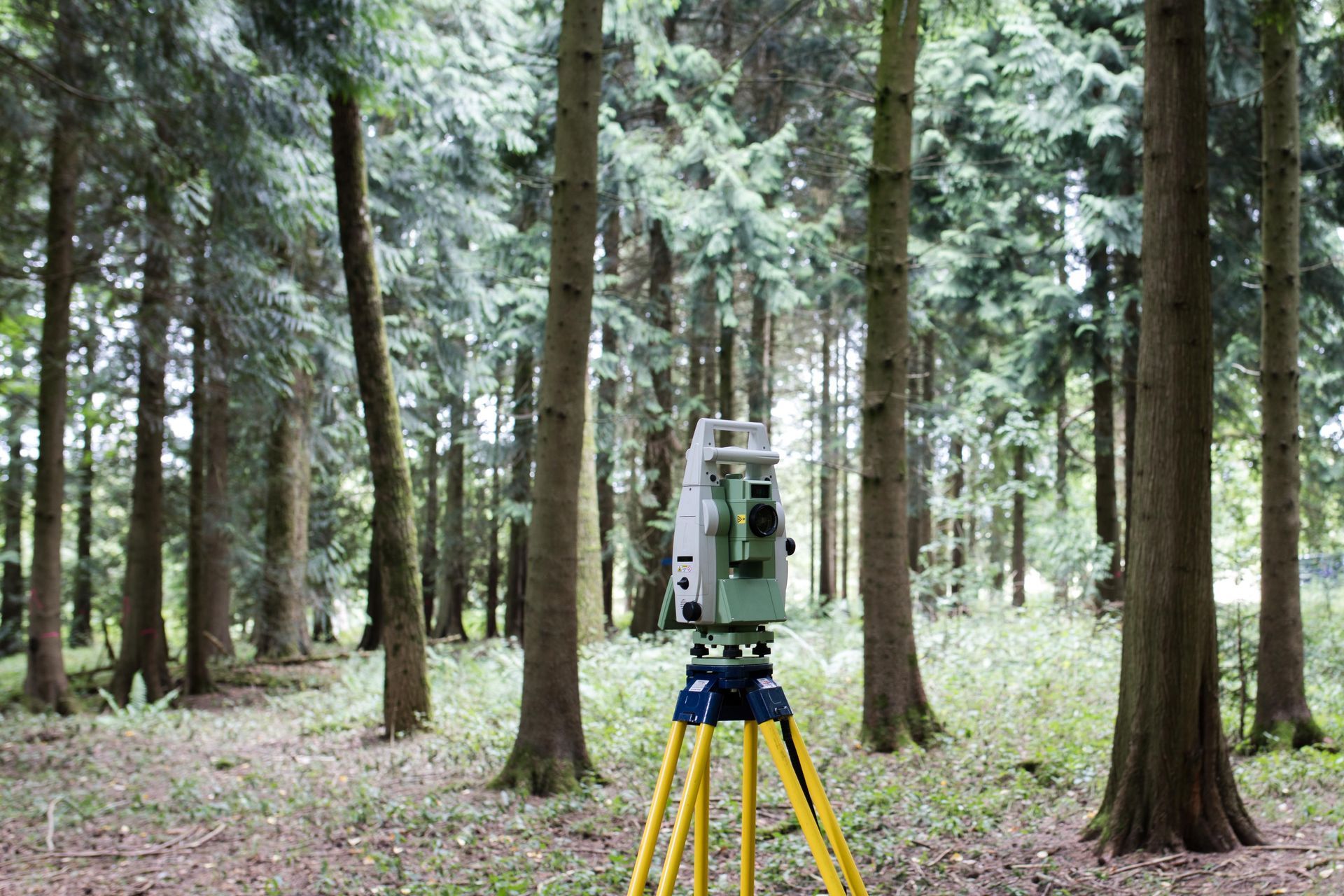
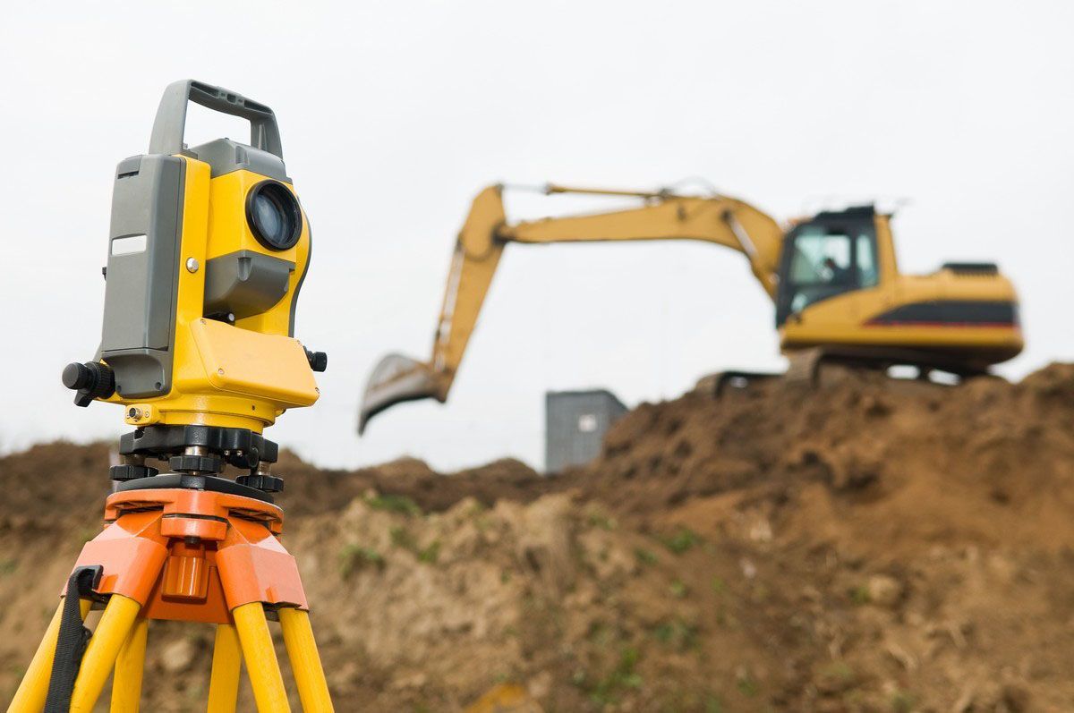
At the core of engineering is the responsibility for conducting high-precision measurements to inform design and development projects. Survey engineers oversee field measurements using sophisticated equipment such as GPS units, robotic total stations, and 3D scanners. By managing these resources effectively, they ascertain precise locations and dimensions essential for infrastructure layout and alignment.
In addition to fieldwork, survey engineers process data using advanced software to create detailed maps and digital representations of surveyed areas. This step is critical, as it involves interpreting raw data while ensuring accuracy to support design teams. The final deliverables can include topographic maps, digital surface models, and CAD drawings, which serve as definitive guides for engineers, architects, and planners.
Survey engineers also play a significant role in client consultation, offering expert advice on project viability, costs, and timelines. This advisory role often requires handling communication between stakeholders, interpreting legislative requirements, and contributing to preliminary design discussions. Through these multidisciplinary interactions, engineers ensure the alignment of project goals with spatial realities and regulatory standards, thus maintaining project integrity from inception to completion.
Technical Skills and Competencies
To excel in survey engineering, professionals must possess a range of technical skills coupled with strong analytical capabilities. Mastery of modern surveying technology, such as GPS systems, GIS software, and robotic theodolites, is crucial for collecting accurate data. Moreover, proficiency in data management and analysis tools enables engineers to convert raw numbers into actionable insights efficiently.
Engineers must also demonstrate competency in problem-solving, critical thinking, and technical writing. These skills aid in resolving challenges that arise during data collection and analysis, ensuring outputs are reliable and communicable to stakeholders. Written communication skills are particularly vital, as engineers must prepare reports detailing findings, methodologies, and implications with clarity and precision.
Additionally, soft skills like teamwork, adaptability, and attention to detail are essential in environments where projects can be dynamic and multifaceted. Engineers often operate in diverse teams, collaborating with specialists across fields to integrate survey data into design and execution plans. As they are tasked with maintaining high levels of precision, their attention to detail is crucial to identify errors promptly and prevent costly mishaps.
The Importance of Accuracy and Precision
Accuracy and precision are fundamental pillars of survey engineering, defining the quality and reliability of survey outputs. These attributes ensure the correct positioning of infrastructure elements and proper alignment with geographic and regulatory constraints. Engineers employ meticulous techniques to minimize errors and enhance measurement accuracy, critical to ensuring that projects meet design specifications and safety standards.
The implications of inaccuracies in survey data can be significant, potentially leading to legal disputes, construction delays, and increased costs. Precise measurements are especially essential in infrastructure sectors such as bridge construction, where safe and strategic placement is critical. According to Gitnux, the United States alone is home to over 600,000 bridges, highlighting the need for exactitude in their design and maintenance to prevent structural failures and enhance public safety.
To achieve high precision, engineers adhere to standardized procedures and industry best practices, employing quality control measures throughout the data collection process. This commitment to accuracy not only ensures the structural soundness of infrastructure projects but also underpins broader economic gains by reducing waste, minimizing rework, and optimizing resource allocation. As urban development and infrastructure demands grow, so too does the importance of accurate and precise survey engineering.
Educational and Certification Requirements
A career in survey engineering generally requires a solid foundation in mathematics, physics, and technical skills, typically obtained through a bachelor’s degree in surveying, geomatics, or civil engineering. Educational programs focus on equipping students with core knowledge and practical skills in land measurement, data analysis, and geographic information systems (GIS). Specialized coursework might include geodesy, cadastral mapping, and photogrammetry, among others, preparing graduates for diverse challenges in real-world applications.
Professional certification is another crucial step for aspiring survey engineers aiming to solidify their credentials and credibility. Many countries require licensure or certification through recognized bodies, verifying professionals’ competence in terms of technical knowledge, ethical standards, and industry regulations. Certifications such as those from the National Council of Examiners for Engineering and Surveying (NCEES) in the United States lend authority to practitioners, ensuring adherence to stringent industry expectations.
Beyond formal education and certifications, engineers must engage in ongoing professional development to stay abreast of technological advancements and evolving methodologies. Continual learning through workshops, seminars, and industry conferences allows engineers to refine their skills, keep pace with innovation, and respond to the complex needs of modern infrastructure projects. As such, education and credentials form the foundation for a rewarding career in engineering, opening doors to diverse opportunities and impacts in the industry.
Survey engineering is an essential discipline that supports the successful development of modern infrastructure and the growth of communities. By combining advanced technology with scientific precision, engineers provide the foundational data needed to design, plan, and construct safe, efficient, and sustainable projects. Their role spans far beyond simple measurements—engineers bridge the gap between concept and construction, ensuring accuracy, compliance, and long-term stability. As urbanization continues and project demands grow more complex, the expertise of engineers remains indispensable in shaping the built environment and securing a safer, more resilient future. Contact Regester Associates, Inc today for engineering services.